


V-Markings: Overview
https://youtu.be/xNVtOoJP0Wc Curious about what V-Markings data can be used for?

V-Markings: Autonomous Trucking
https://youtu.be/rCeroAs0zOE Trucking is the lifeblood of the American economy. That’s why we’re dedicated to keeping autonomous trucks safely navigating, even as the roads change.
- V-Markings: When Public Data Doesn’t Have the Whole Picture
- V-Markings: Work Zone Alerts
- V-Markings: About
- V-Markings: Smart Cities, Smart Solutions
- V-Markings: Overview


Accurate Maps
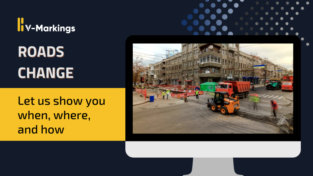
We know when, where, and how roads change – keeping maps accurate and autonomous vehicles driving uninterrupted.
Safer Roads
Connected work zones keep workers and the traveling public safer. We’re committed to increasing road safety by providing reliable, timely updates of critical information.
Improved Visibility
Gain richer insights into time-critical events and contextual information about road construction to make timely decisions for your fleet.
Reduced Delays
Take the delays out of updating your maps. As roads change, our data updates, ensuring your maps are up-to-date.

OUR UNIQUE DATA SOURCES
The key to V-Markings Data is our direct access to the equipment performing road work. Gain real-time insights of when, where and how roads change as construction occurs on all OSM road types. Change management has never been easier. Know exactly when projects are completed and roads are ready to be rescanned.
50% YEAR-OVER-YEAR GROWTH
Explosive data growth through organic and secondary sources expands our coverage map through the US, Canada, Australia, and New Zealand. Over 500,000 miles of data in 2022 in North America. Projected coverage of 1,000,000+ miles of data by 2024.


EASILY ACCESSIBLE VIA API
Access the location and attributes of pavement markings as they are applied directly through our API. Customizable delivery based on your needs and unique approach to building and maintaining maps.